Scheda sentiero
SVA: Panoramic Section from Bonassola to Punta Mesco
È un itinerario escursionistico puro, caratterizzato da una pendenza costante ma ripagato da viste aeree mozzafiato che dominano l'intera insenatura di Bonassola e, via via che si sale, aprono l'orizzonte verso il mare aperto e la riviera.
Descrizione
Step-by-step itinerary
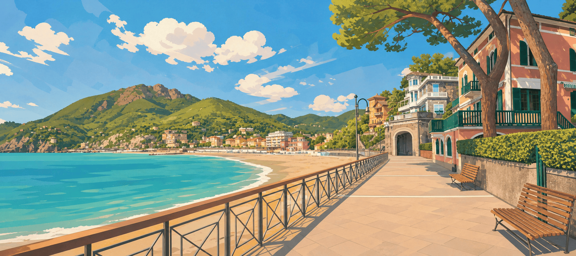
1. Departure from Bonassola — eastern slope
The route starts from the eastern end of the village of Bonassola, immediately above the beach area and the former railway line. The trail quickly leaves the asphalt and becomes a classic Ligurian mule track, climbing among dry-stone walls and small privately owned olive groves.
2. Switchbacks through Mediterranean scrub
The central section of the itinerary follows a series of switchbacks and changes of direction shaped by the rocky terrain. Hikers walk through luxuriant vegetation dominated by maritime pines, heath and broom. Panoramic viewpoints appear at every bend, offering perfect elevated views over the gulf below.
3. Arrival on the ridge — junction with the upper trails
After approximately 1.3 kilometres of steady climbing, the route reaches the ridge of the promontory. This arrival point is a strategic junction: from here, the itinerary reconnects with the main trail network, allowing hikers to continue at altitude towards the ruins of the Eremo di Sant'Antonio and Punta Mesco, or to begin the panoramic descent towards Levanto.
Informazioni pratiche
Anteprima mappa
Tracciato del sentiero
Visualizza il percorso direttamente sulla mappa del portale.
Real experiences
Community
Reviews, photos, tips and reports help make this trail page more useful for everyone.
Reviews
There are no approved reviews for this trail yet.